
How Oakville is laid out
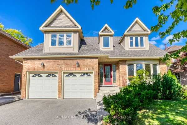
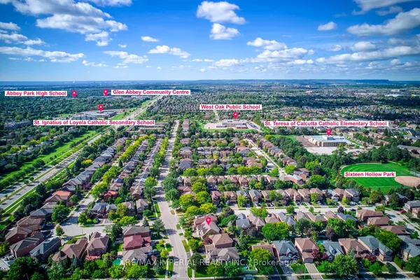
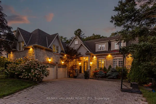
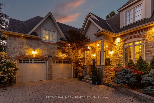
Think of the town as three bands. Below the QEW lies the original Oakville: Old Oakville around the harbour and Lakeshore Road, Morrison and Ford east of it toward the Ford plant with Clearview tucked beside the Mississauga line, then Central Oakville with Kerr Village west of the creek, Southwest and West Oakville on the way to Bronte, and Bronte itself at the mouth of its own creek. Between the QEW and Dundas Street are the subdivisions built between the 1960s and the 2000s: College Park and Falgarwood beside Sheridan College, Wedgewood Creek and Joshua Creek in the east, Glen Abbey around the golf course, River Oaks above Upper Middle Road, and Bronte Creek, Westmount and West Oak Trails in the west. North of Dundas is the newest band, Glenorchy, Joshua Meadows and Northwest Oakville, with Rural Oakville holding what has not yet been built. A listing may use a local name instead, Eastlake or Uptown Core for example, so match the address to the community code before you judge it.